Category: Garmin
-

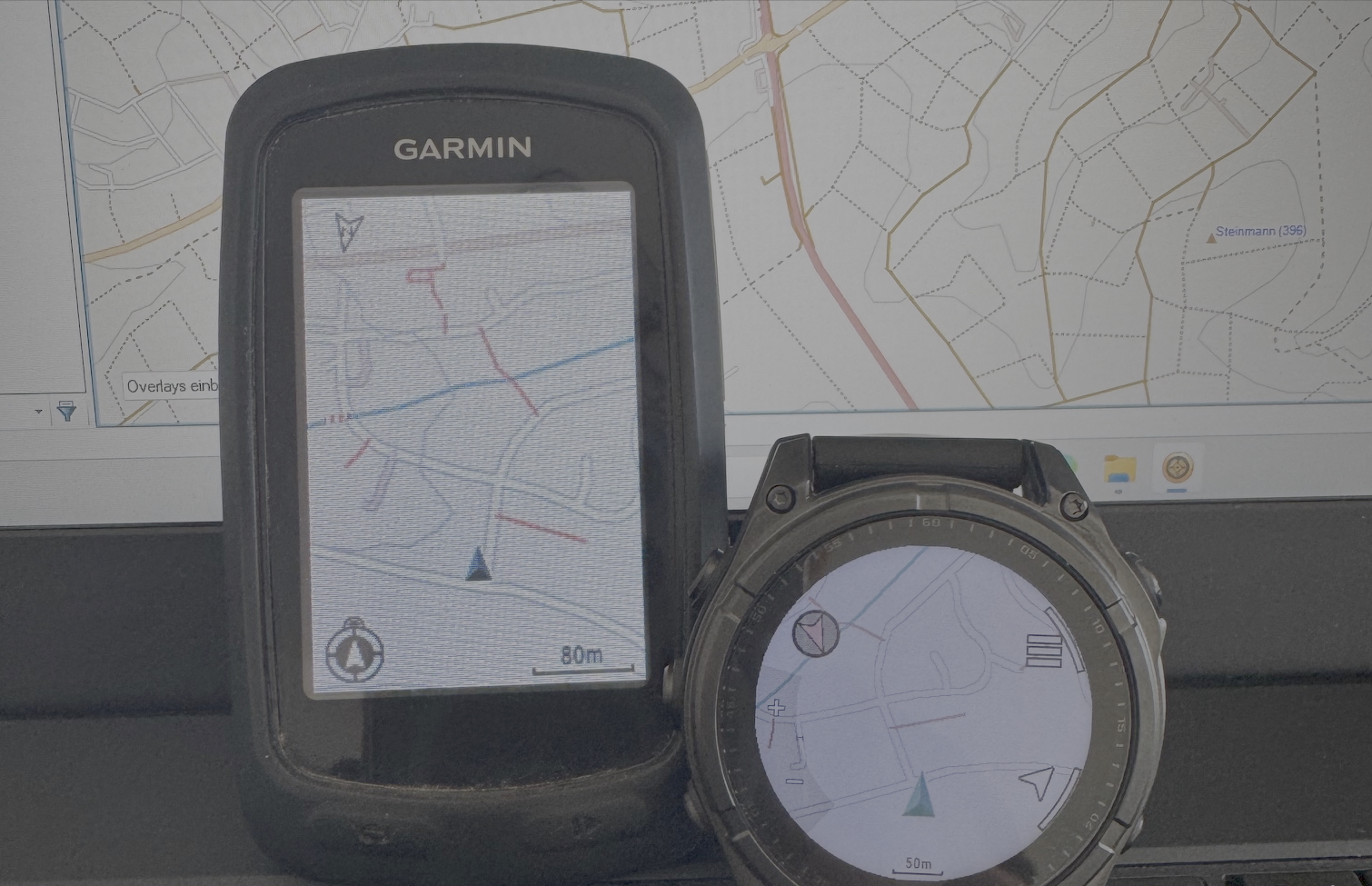
From Sky to Trail: Testing GPS Accuracy with Drones, Action Cam and Smartwatch
In the early days of mapping and cartography experiments, GPS tracks were often the starting point. Contributors to the OpenStreetMap (OSM) project, especially before 2010, relied heavily on GPS devices. They would walk or cycle routes and later upload their recorded tracks and observations to OSM. Today, GNSS-capable devices are everywhere: smartphones, smartwatches, action cams,…
-
Building My Own Garmin™ Maps for Outdoor Activities Based on OpenStreetMap Data
For many years, I’ve used pre-made Garmin maps from the internet on my devices while hiking, running, or mountain biking. These maps have always been based on data from the OpenStreetMap (OSM) project. In the early days, a map of Europe was just a few hundred megabytes in size and usually fit comfortably on the…